Hiking Torrey Pines State Natural Reserve: Hike 1
 Torrey Pines State Beach. Mandatory Photo Credit David Frerker
Thank you for reading our hiking series on Torrey Pines State Natural Reserve. Out of all the hikes this hike might be our favorite. This hike starts in the northern section of the park. You can park near the intersection of Carmel Valley Road and Mc Gonigle Road for free or park on Mc Gonigle Road (North Beach parking lot) and you will have to pay a fee to park. At the bottom of this article you will be able to check out our photo gallery for this hike. The estimated distance of this hike is 7 Miles.
From Mc Gonigle Road walk past the pay to park area and underneath the bridge by were the lagoon enters into the ocean. Walk up the ramp towards North Torrey Pines Road. When you hit the top of the ramp head south on North Torrey Pines Road towards the south beach paid lot. If the tide is out you can walk on the beach (one mile) to the bottom of Broken Hill Trailhead.
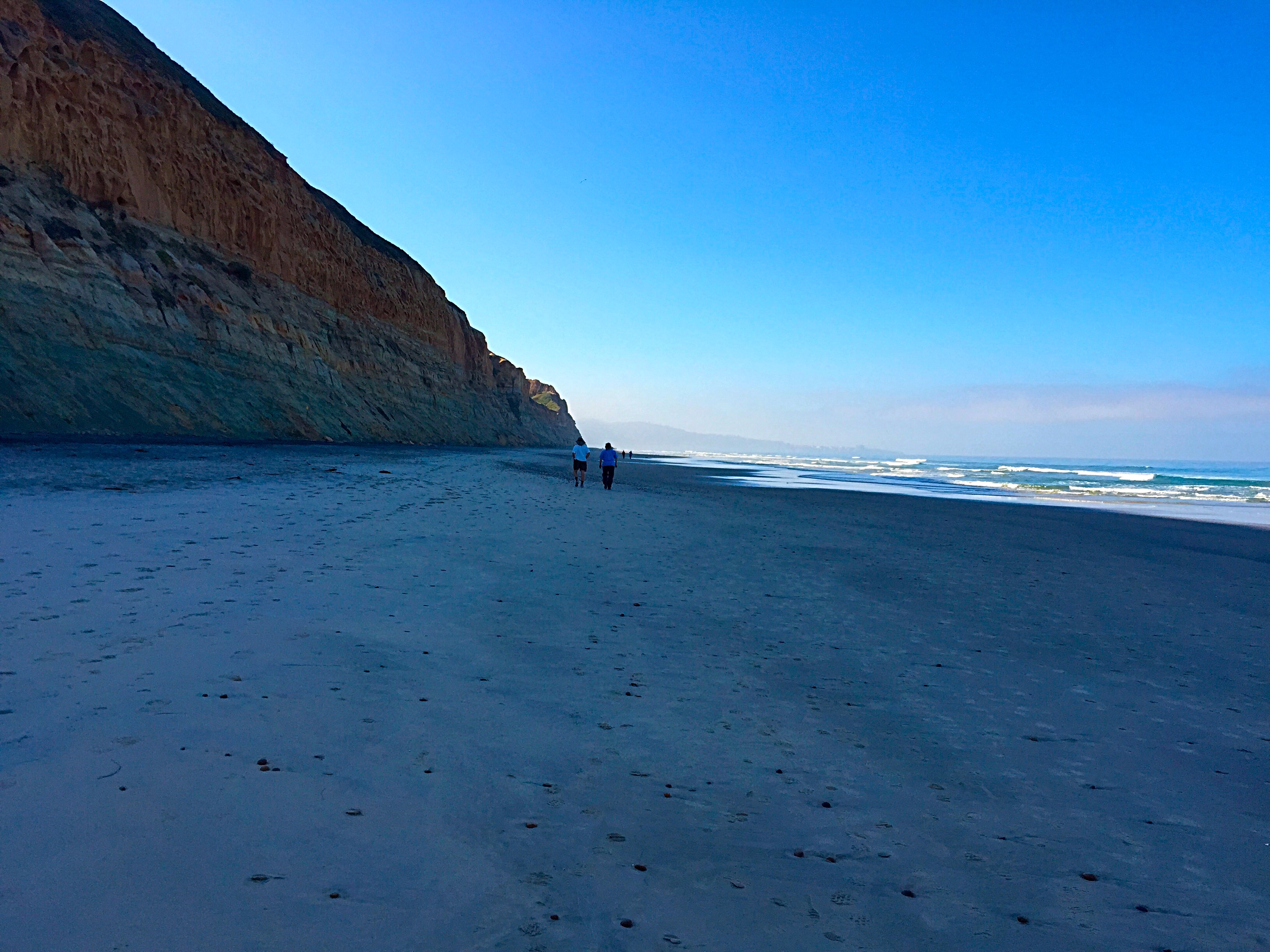
Torrey Pines State Beach. Mandatory Photo Credit David Frerker
Once you have climbed up the staircase you will have an option to go left or right. The trail leading to the left is called the Beach Trail (normally a trail that people take from the mesa to the beach. Do your best to avoid this trail unless you are planning to go down the hill).
The trail leading to the right is called Broken Hill trail. This is the trail that we recommend. This is the longest trail at the Torrey Pines State Natural Reserve. This trail will give you a great workout since it is almost all uphill. You will have beautiful views of the pacific ocean and La Jolla. You will also see tons of wildflowers when they are blooming.
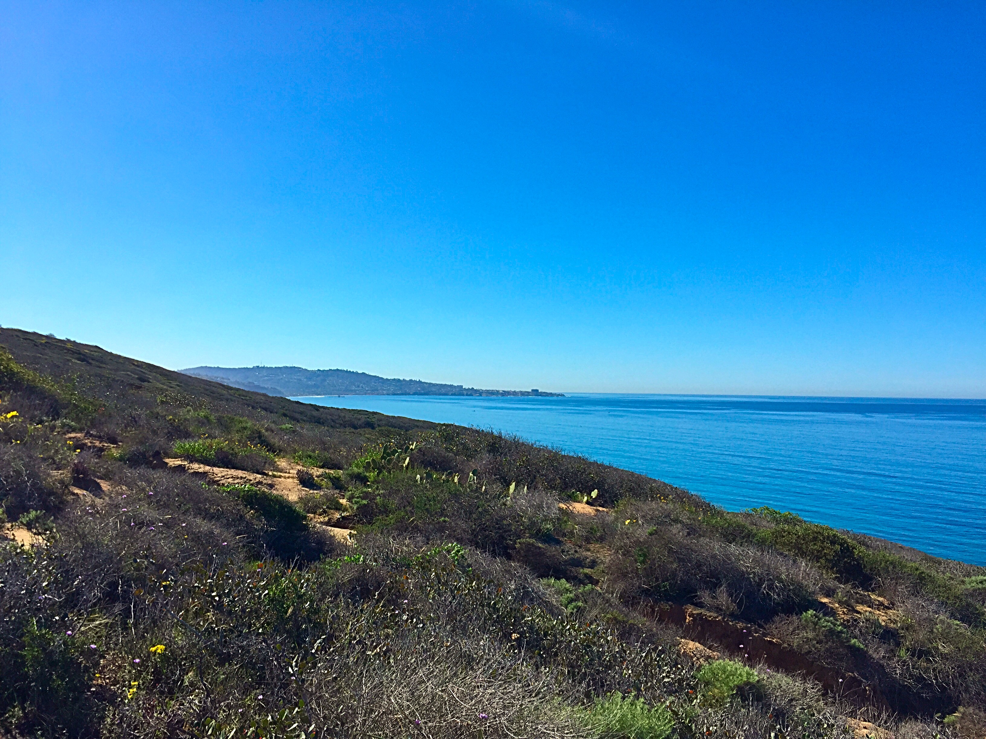
View from Broken Hill Trail in the Torrey Pines State Natural Reserve. Mandatory Photo Credit David Frerker.
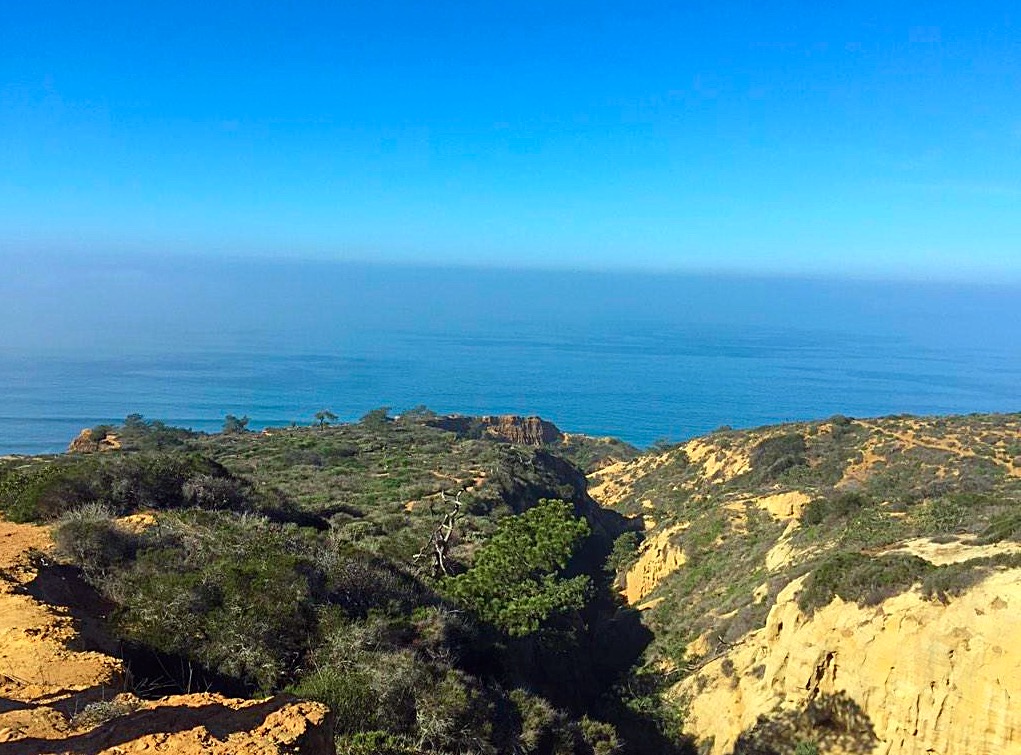
When you are almost at the top of the trail you will hit a fork in the road. You will have the option to go left on the North Fork Trail which adds an extra .2 of a mile and if you go right the South Fork Trial which adds an extra .3 of a mile. If you are in a time crunch I would say take the North Fork Trail. If you have time it is worth taking the South Fork Trail. The South Fork Trail runs right along the North Course of famous Torrey Pines Golf Course.

View of Torrey Pines North Course from South Fork Trail in the Torrey Pines State Natural Reserve. Mandatory Photo Credit David Frerker.
Once you have reached the top of the North Fork Trail or South Fork Trail you will head left on the road and it will lead you to the main parking area on the mesa. Depending on which hike you have taken you will be sitting at 3.2 or 3.3 miles. Now we recommend taking the Beach Trail down from the main parking area. You will have another option about 200 yards down the trail. We recommend taking the Razor Point Trail.
View of Razor Point Trail from South Fork Trail in the Torrey Pines State Natural Reserve. Mandatory Photo Credit David Frerker.
That will add an extra .7 of a mile onto your hike. You will see amazing views of the gorge and badlands. When you have hit the end of the Razor Point Trail head left and back onto the Beach Trail. The Beach Trail will lead you back to the staircase that you started the uphill portion of the hike at. You are now back on Torrey Pines State Beach.
At this point in your hike you will be sitting at either 4.9 or 5 miles. You will now walk on the beach the same way that you came back towards the south parking lot. Once you have reached the south parking lot you will walk north along North Torrey Pines Road. You will then see the ramp that you walked up when you began the hike. Go down the ramp and underneath the bridge by were the lagoon enters into the ocean. Walk through the north parking area on Mc Gonigle Road and you are back to Carmel Valley Road where you parked. You will be exhausted once you reach the cars.
More photos from areas that you will see on this hike.
-

- Torrey Pines State Beach. Mandatory Photo Credit David Frerker
-
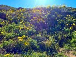
- Wildflowers on Broken Hill Trail in the Torrey Pines State Natural Reserve. Mandatory Photo Credit David Frerker.
-

- View from Broken Hill Trail in the Torrey Pines State Natural Reserve. Mandatory Photo Credit David Frerker.
-

- View of Torrey Pines North Course from South Fork Trail in the Torrey Pines State Natural Reserve. Mandatory Photo Credit David Frerker.
Thank you for visiting our site!

Make sure you are following @SanDiego_Sports on Twitter and San Diego Sports Domination on Facebook for updates and information about San Diego Sports. If you are looking for tickets these are our most popular sports teams.
Please click on this link to purchase San Diego State tickets Get Great Tickets at Ticket Monster!
Please click on this link to purchase San Diego Chargers tickets Get Great Tickets at Ticket Monster!
Please click on this link to purchase San Diego Padres tickets Get Great Tickets at Ticket Monster!

Leave a comment